Ki-demang.com : Candi

Kaca Ngajeng Candhi

ikon-kaca-ngajeng
 

ikon-buku-tamu

candi-prov-yogyakarta

candi-sleman
candi-bantul
candi-gunung-kidul
candi-kulon-progocandi-kota-yogyakarta


 candi-prov-jawa-tengah
candi-klaten
candi-magelang
candi-boyolali
candi-temanggung
candi-kabupaten-semarang
candi-banyumas
candi-wonosobo
candi-kota-semarang
candi-kendal
candi-banjarnegara
candi-batang
candi-pemalang
candi-tegal
candi-brebes
candi-purwodadi
candi-kudus
candi-purworejo
 candi-purbalingga
candi-kebumen

    Jumlah Pengunjung

0458532
  Hari ini     :  Hari ini :3
  Kemarin     :  Kemarin :76
  Minggu ini   :  Minggu ini :61
  Bulan ini   :  Bulan ini :3233
  s/d hari ini   :  s/d hari ini :458532
Pengunjung Online : 1

Kontak Admin.

email-kidemang

74 Tinjon

situs tinjon nyariwatu01

http://1.bp.blogspot.com/_oC7LyHW3VMo/TF0k2oJPo9I/AAAAAAAAAXI/zQkOM3UF-UI/s1600/8.jpg


Situs Candi Tinjon berada di dusun Gunung Cilik, Sambirejo, Prambanan, Sleman, Yogyakarta, jalan menuju situs ini sama dengan jalan menuju Candi Ijo namun ketika menaiki tanjakan awal sebelum kantor Kepala Desa ambirejo, di sebuah bukit kecil di seberang jalan candi ini.


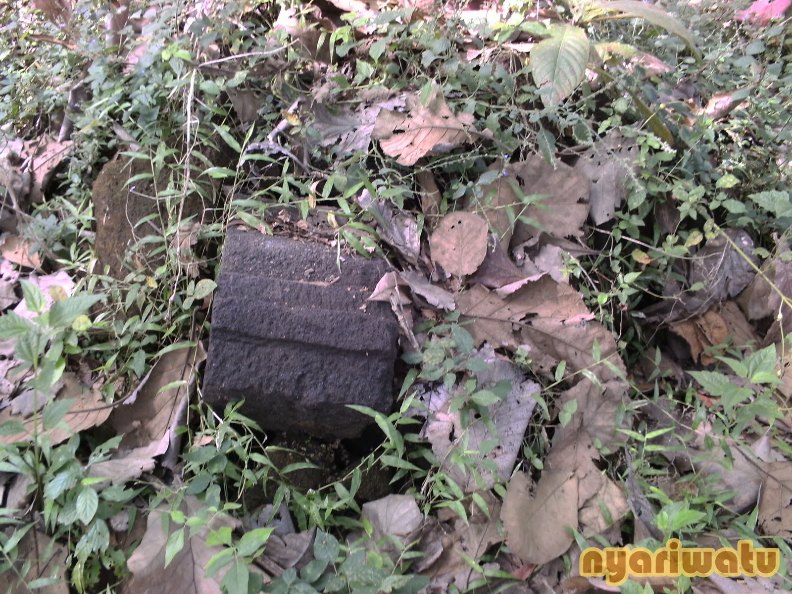
Situs Candi Tinjon kini hanya menyisakan batu-batu candi yang berserakan, dan bentuknya seperti sebuah pagar / pondasi kaki candi.


situs tinjon nyariwatu02

http://1.bp.blogspot.com/_oC7LyHW3VMo/TF0kQBWR8wI/AAAAAAAAAXA/G_dC6b8ZCpk/s1600/1.jpg


Situs Candi dipinggir sebuah tebing, dan kemungkinan banyak batu candi yang jatuh kebawah tebing tersebut.
Dari beberapa informasi yang menyebutkan bahwa disitus ini pernah diketemukan sebuah arca yang besar. namun kejelasan arca apa itu. kurang bisa dipastikan.


situs tinjon nyariwatu03

http://3.bp.blogspot.com/_oC7LyHW3VMo/TF0kIGGnCiI/AAAAAAAAAW4/c7cUeuACFf4/s1600/4.jpg


situs tinjon nyariwatu04

http://4.bp.blogspot.com/_oC7LyHW3VMo/TF0j686pudI/AAAAAAAAAWw/-bWYGfkTlQw/s1600/2.jpg


Sumber : http://nyariwatu.blogspot.com/2010/08/candi-tinjon.html


Administrative localization:

Tinjon, Madurejo, Prambanan, Sleman, DIY.


Geographical localization:

07° 47' 01.7" S
110° 29' 33.0" E
Precision: 13m
Alt.: 200m


Surroundings:

In lowland, on the slope of Gunung Kidul, 400m east of kali Gawe/Sorogeduk. From here, one can see gunung Abang (SE), the Yogyakarta plain (E), the Ratu Boko plateau (NE) and Mount Merapi (N).143 The site is located 200 to the north of Gupolo, 800m to the southeast of Banyunibo, 1000m to the northeast of Polengan and 1000m to the south of Barong.


Religion: Unknown.
Main features: Single temple; facing west; enclosure wall.
State of preservation: The temple is now reduced to a mere mound, but a short part of its wall is still visible on the eastern side.


Description:
This temple, still visible at the beginning of the 19th century, was turned to the west (Brumund 1854:53; Verbeek 1891: 171). In 1889, it had already almost completely disappeared (Verbeek 1891: 171). In 1989, the SPSP DIY carried on a work of prospecting. It revealed that, although the remains had been badly damaged by the construction of a retaining wall to protect the road, parts of the structure were still in situ (Laporan identifikasi Tinjon 1989). Excavations allowed digging out part of the temple eastern wall144. Traces of an enclosure wall were visible 8m east from the temple base and also in the north and northeastern parts of the site. The enclosure must have measured more or less 57 x 65m (Laporan identifikasi Tinjon 1989:9).
Today, some stones of the eastern wall and of the enclosure wall are still visible, but the temple body is reduced to a pile of earth mixed with stones.


Sumber : Candi Space and Landscape - Véronique Myriam Yvonne Degroot


kds penutupwangsul-manginggil

  • < 73 Tawangrejo
  • 75 Wadas >

Ki-demang.com : Candi, Dibuat oleh: Ki Demang Sokowaten About - Privacy