


| 04 Dukuh |
|
Lokasi :
Sejarah : Kondisi :
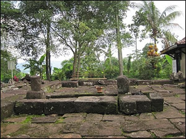
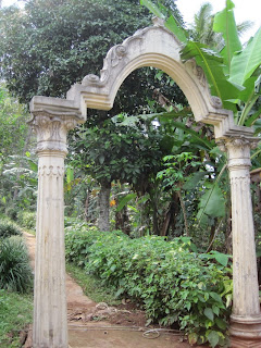
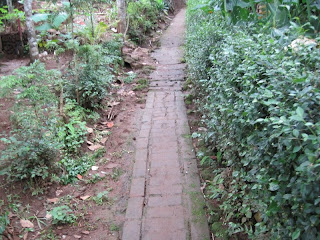
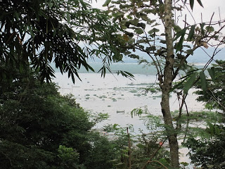
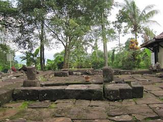
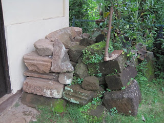
Lokasi candi berada diatas sebuah bukit, untuk menuju candi ini harus melewati jalan setapak yang cukup menanjak dengan pemandangan Rawa Pening disekitarnya.
Sumber : http://tarabuwana.blogspot.com/search/label/Semarang |


|
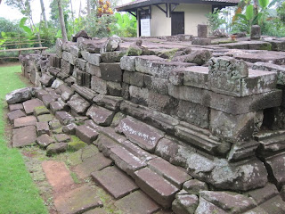
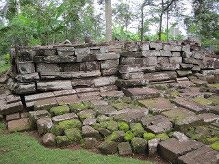
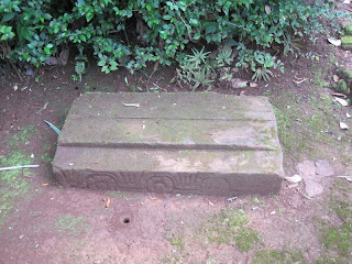
DUKUH (Banyubiru, Brawijaya) Brawijaya, Rowoboni, Banyubiru, Semarang, JT.
Geographical location: 07° 18' 40.9" S
Surroundings: In lower middle land, at the top of a small hill overlooking the Rawapening Lake and backed by Mount Telomojo and Mount Merbabu. To the west Mount Ungaran is clearly visible. Down the hill are two hot springs.
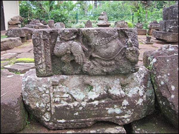
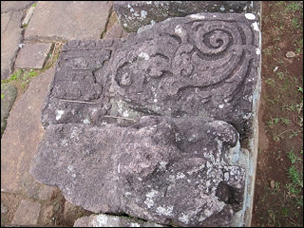
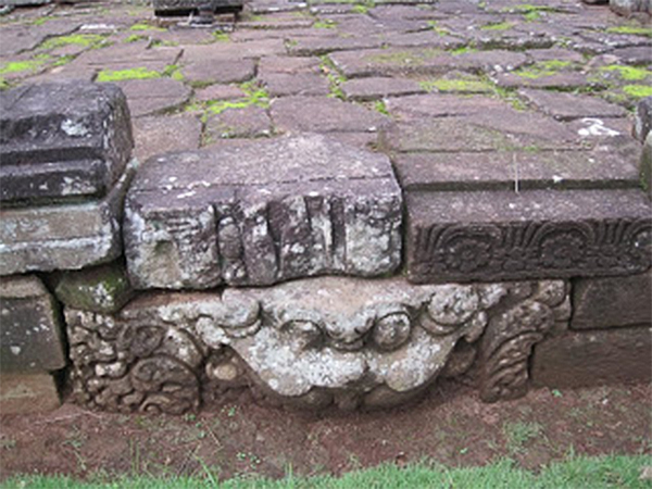
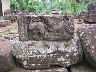
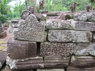
Religion: Hindu
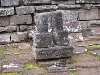
Description: The temple base is square and measures 5,80m x 5,80m. Its eastern face is unfortunately badly damaged and it is not possible anymore to confirm the existence of a stair on this side.
Sumber : Candi Space and Landscape - Véronique Myriam Yvonne Degroot |

